
Walk a Winnebago County Street
A sound street-by-street search moves from the address to a stable parcel key, then from that key to records held by different offices. Start with county parcel systems because a typed address can vary while a parcel identification number, or PIN, links the mapped lot to tax and deed records. Public files identify owners and recorded events. They do not prove who sleeps at the address today.
- Enter the number, direction, street, and suffix in the Supervisor of Assessments search. Save the PIN, situs address, owner label, and legal-description clue.
- Open the parcel in the WinGIS property map. Check its boundary and nearby lots.
- Compare the Treasurer tax search. Label the parcel location and tax-mail destination separately.
- Search the current owner as grantee in the Recorder deed index. Follow each seller as the next grantor while matching the PIN or legal description.
- For an older household, use Rockford Public Library reverse directories and historical maps. Verify each name with another dated source.
This sequence keeps the evidence in order. It also prevents a tax bill, deed, or voter confirmation from being mistaken for a household roster. Note: Save the record date because parcel ownership, mail destinations, and portal displays can change.
Search the Winnebago Street Directory
The Assessor form accepts several routes into the same roll. Address searching works best when the street parts stay separate. Direction means a prefix such as north or south, while suffix means street, avenue, or road. Owner fields help when an address is unclear, but they index an owner or taxpayer, not every resident. The page describes current information and history through 2003.
| Search control | Input | Best use |
|---|---|---|
| PIN 1 through PIN 4 | Number segments | Enter the complete parcel number in the expected format. |
| Location Number | Street number | Pair it with the street field. |
| Direction | Prefix | Test north, south, east, or west separately. |
| Street and Suffix | Name and type | Keep the base name apart from avenue, road, or street. |
| Owner Last and First | Name | Use spelling variants and expect same-name matches. |
If the form misses, reduce the entry to the number and base name, then add direction or suffix. WinGIS may normalize it differently. The separate Parcel Summary helps once the PIN is known.
The WinGIS PIN summary shown here illustrates that parcel-first route.
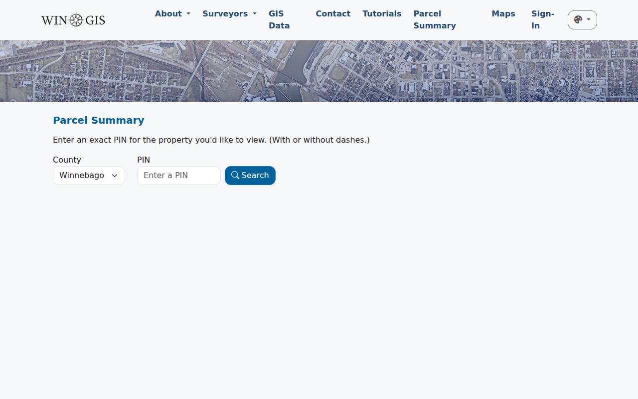
The summary connects a mapped parcel to details that can be checked against assessor, tax, and deed records without calling it an occupant record.
Winnebago Street Records Compared
Each address source answers a narrower question. County systems supply most current parcel evidence. Rockford systems add municipal permits or code matters only within their own jurisdiction, not across every village or unincorporated address.
| Address source | Keeper | Evidence | Access |
|---|---|---|---|
| Assessment roll | Supervisor of Assessments | PIN, owner, situs, value, parcel context | Free online search |
| Tax account | County Treasurer | Tax year, payment account, mail details | Online by address, owner, or PIN |
| Parcel geometry | WinGIS | Boundaries, details, map layers | Public map and PIN summary |
| Recorded instruments | County Recorder | Grantor, grantee, deed, lien, and plat references | Index, paid tools, counter, request |
| City cases | City of Rockford | Permit or code event where available | Portal, page, or office request |
| Historical books | Rockford Public Library | Named and later reverse entries | PDF, library database, staff help |
Voter registration is not a browseable street roll. Illinois offers a person-centered registration lookup, while a full voter file is controlled for qualifying political purposes. It cannot be represented as a public list of everyone on a block.
Decode Winnebago Parcel Terms
Property records are easier to compare when address terms remain distinct. A number is convenient, but the land record follows the parcel and legal description. Preserve all identifiers on a dated result.
- Parcel
- A mapped unit of land identified for assessment and recording.
- Situs address
- The physical land location, not the destination for the owner’s tax mail.
- PIN
- The segmented parcel identification number used by the Assessor, Treasurer, and WinGIS.
- Plat
- A recorded map connecting lots, blocks, streets, and subdivision boundaries.
- Criss-cross directory
- A historical directory arranged by address or street, leading from a place to a name.
A legal description may use lot and block terms or metes and bounds. Match it before carrying a deed name backward. A similar street address alone is not enough after a lot splits or merges.
Link Winnebago Streets to Deeds
The Recorder records page documents every channel. Direct Search is the free index. Tapestry is pay as you go, and Laredo is a subscription product. Public stations are available at the office. Staff requests require a party name and are not performed by telephone. Because an address may not be an index field, first obtain the owner, PIN, and legal description from parcel records.
Search the owner as grantee, the party receiving an interest. Capture grantor, grantee, recording date, document number, book and page when shown, instrument type, parcel reference, and copy route. The current online cutoff is not stated. IRAD lists deed records from 1836 through 1891 and mortgages from 1845 through 1918. Ask whether the target year sits online, at a public station, in a book, or at the archive.
The grantor-grantee screen shown below is the proper place to turn an owner into a recorded-name search.
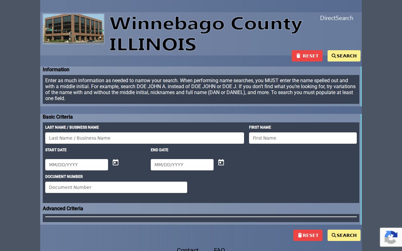
The screen is an index doorway. A document image or certified copy carries more weight, and each deed must match the parcel description.
Map the Winnebago Street Directory
WinGIS supplies the spatial view missing from the assessor form. Pan along a road, select a parcel, open its details, and note adjacent PINs. The map may display zoning, flood, address, and other layers. A parcel line is more exact than a neighborhood or ZIP polygon, yet it describes land rather than people inside a building.
The 2026 releases added public Parcel Summary, faster combined PIN, address, and owner filters, pagination, table views, improved details, and ZIP values on parcels in some maps. Later changes added mass parcel highlighting with address and parcel labels plus comparison of two PIN lists. These street directory tools let a researcher keep a clean parcel list. Some export and list functions remain limited to permitted users.
Use the map date and interface version in notes. A saved PIN list can be checked again after a portal change, but a screenshot does not freeze ownership. Note: WinGIS generally handles data requests within one business day when public layers do not answer a narrow map question.
Check a Winnebago Tax Address
The Treasurer portal accepts owner, address, and PIN searches and has a mobile-home route. A result links a parcel to a tax year and payment account. Read it carefully. A taxpayer mailing address may point elsewhere, and contact fields used in a payment flow are not a public resident list. Situs remains the parcel location.
The Treasurer interface pictured here shows the owner, address, and PIN paths.
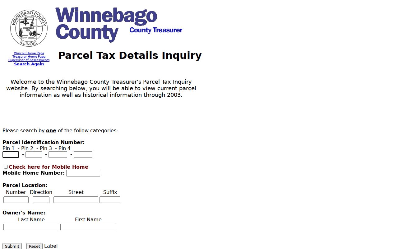
Compare a tax hit with the Assessor and WinGIS. Agreement anchors the parcel but does not identify relatives or other occupants.
Rockford Streets Changed in 1893
Rockford’s Historic Preservation Plan says street numbers changed in 1893. That quirk can make a sound old address seem absent from a modern by-address search. The South Main limestone records show the scale: early 15/17 and 19/21 became 118/120 and 122/124. Current references may compress those pairs again.
Bridge the systems with the 1857 street section, the 1869 and 1880 directories, Sanborn sheets from 1887 and later, and the current legal description. The preservation plan supplies the conversion clue. Sanborn maps add blocks, structures, construction, and property lines, but their best coverage is urban.
Do not force an old number into a present portal and accept the closest result. Prove the bridge with a cross street, building shape, lot, owner, or deed.
Reverse the Rockford Street Directory
The preservation plan identifies 1903–04 as Rockford’s first reverse directory by street, with later editions continuing the feature. Earlier books often require a surname first. Selected 1857, 1869, and 1880 volumes are open through RPL genealogy resources. In-library Ancestry states a Rockford run from 1869 through 1960.
Use a reverse section for a dated occupant lead, then inspect the alphabetical entry for abbreviations, work, or a firm link. A printed name proves publication in that edition, not continued residence. The full shelf and entry conventions are covered in the Winnebago County city directories.
Rockford Cases by Street Address
Within Rockford, permit and code sources can add an official event tied to a location. City permit pages describe work requiring permits and point to the current system. The Code Hearings page publishes schedules and case prefixes, while retrieval may require a phone request. No stable public historical address field was confirmed, so the fallback is the city department, a narrow request, and its retained record series.
Ask for a specific address, permit or case type, and date range, not everyone at a property. A permit may identify work, an applicant, or an owner at one point. Outside Rockford, contact the authority that issued the permit.
Limits of Winnebago Street Records
A public street directory built from official sources has firm limits. Assessor, Treasurer, GIS, deed, permit, and directory records serve different public functions. None is a current census of a home. Many occupants and relatives may never appear. Utility data and motor-vehicle addresses are not open household lists. Protected voters, sealed matters, and the Illinois Address Confidentiality Program add boundaries around sensitive locations.
When an online tool fails, use the documented fallback: public office station, written search request, library consultation, or archive catalog. Illinois FOIA, 5 ILCS 140, can support a narrow request for an otherwise public county record, but it cannot override confidentiality law.
Lawful use. Use Winnebago County address records for legitimate personal research. Never use a street search to stalk, harass, threaten, or harm another person.
A commercial directory may merge old or unrelated data and hide its source date. Official records are slower to assemble, but they identify the custodian and purpose of each field. Keep uncertainty visible and correct a fact through the office that owns it.